
Bridgeton Neighbors: Block Record Sources
Bridgeton neighbors can be researched through a block trail in Bridgeton of parcels, ownership records, public municipal activity, and historical or business context. Begin with the source that identifies the lots, then use the Bridgeton assessor and County Clerk to test an ownership question tied to Bridgeton. A voter record for a Bridgeton name has a narrowly regulated role, while a public Bridgeton business directory applies only to commercial members. The sources below describe a Bridgeton block, not a complete account of every person who may be present there.
| Source | What It Shows About a Block | Access |
|---|---|---|
| Cumberland County GIS | Geometry for Bridgeton parcels, roads, zoning, boundaries, wetlands, land use, and related layers | Free map and Bridgeton data-request gateway; geometry is not a legal survey |
| NJ Property Explorer | Address in Bridgeton City, Cumberland County, block, lot, PIN, and parcel placement | Free public map; owner names for Bridgeton parcels can be redacted |
| Bridgeton Tax Assessor | Property-card and assessment context, owner role tied to Bridgeton, mailing address, and situs to confirm | City office in Bridgeton and assessor record route; no local public owner-search form located |
| Cumberland County Clerk | Bridgeton recorded deed parties and legal-description history for each adjacent parcel | Online to 1960; older Bridgeton books at the Record Vault |
| Planning, zoning, permits, and code route | Bridgeton address and block/lot context for city activity | Bridgeton city counter or specific OPRA request; no public live permit index located |
| Historic directories and public business listings | Dated Bridgeton address context or a listed storefront, not a current residential roster | Bridgeton library collections and official Chamber directory |
The key distinction is owner versus occupant. A Bridgeton assessor card or recorded deed can document an ownership or mailing role. It does not prove that the owner lives at the Bridgeton property. The property situs is the physical parcel location; the Bridgeton mailing address is where tax notices go. Keep those two fields separate when comparing nearby Bridgeton parcels.
Bridgeton Parcel Starting Point
Search the Bridgeton anchor address in NJ Property Explorer. If the address does not resolve cleanly, select Cumberland County and Bridgeton City, then use the block and lot fields. Record the PIN, which aligns with MOD-IV and PAMS data, as well as the Bridgeton parcel’s displayed geometry. NJGIN cautions that a polygon is not a legal boundary or survey and county data may not edge-match. That limitation makes a Bridgeton parcel a research locator, not a line to argue from.
The Cumberland County GIS page is the local gateway for Bridgeton map layers used with a Bridgeton neighbors search.
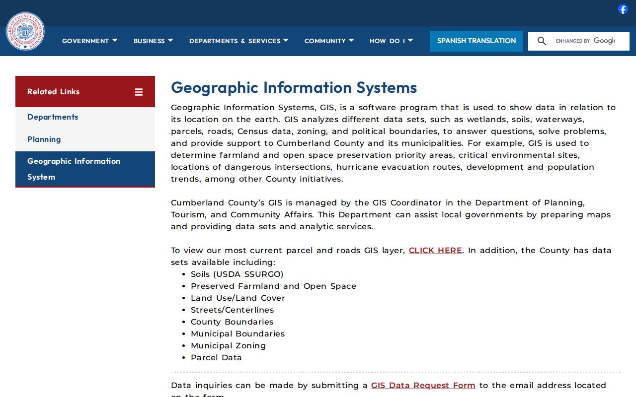
The Cumberland GIS route for Bridgeton adds parcel, road, zoning, environmental, and land-use context for Bridgeton, which helps distinguish a Bridgeton mapped block from an assumed household list.
- Parcel
- A mapped Bridgeton property unit identified through address, block, lot, or PIN data.
- Situs
- The physical location of a Bridgeton parcel, used for mapping, permits, zoning, and emergency addressing.
- Owner mailing address
- The address used for Bridgeton tax notices, which can differ from the property situs.
- Legal description
- The recorded description for a Bridgeton property, used to distinguish a lot when a street number changes or is unclear.
Covered people can have names redacted from state-hosted parcel data for Bridgeton under Daniel’s Law. When that occurs, do not substitute an unsupported name. Move from the map identifier to the Bridgeton city assessor or the County Clerk’s recorded-instrument path in Bridgeton, where access rules still apply.
Bridgeton Four-Corner GIS Read
Once the anchor parcel is visible, pan along the street through Bridgeton and select the contiguous polygons. The confirmed method is click and browse, not an assumed radius or buffer command. Record each adjacent block and lot, then compare the parcel edge with roads or centerlines, municipal boundaries, and the zoning or land-use layers. That produces a defensible map list of nearby parcels in Bridgeton without claiming that every mapped owner is a nearby resident.
Use the same sequence for every parcel:
- Enter the Bridgeton address and locate the anchor parcel in NJ Property Explorer or Cumberland GIS.
- Write down the Bridgeton anchor’s block, lot, PIN, and physical situs.
- Pan to each touching or immediately adjacent polygon and record its Bridgeton public legal identifier.
- Ask the Bridgeton assessor to confirm property-card context, then use the Cumberland County Clerk in Bridgeton to verify a recorded party and legal description.
Cumberland County land records for Bridgeton are searchable online back to 1960. County Fusion is identified for 1987-present and ImageSync for 1960-1987. The Record Vault at 60 W Broad Street in Bridgeton is the in-person path before 1960. Search grantor and grantee roles for Bridgeton parcels separately, copy the document date and book/page or file number, and follow the legal description rather than relying on a shared surname. The full address chain along a named road belongs in the Bridgeton street directory.
Note: A Bridgeton parcel map places land and a Bridgeton instrument identifies recorded parties; neither record alone establishes who currently occupies the location.
Bridgeton Permit and Code Route
Bridgeton permits and code files can add dates to an address trail, but Bridgeton did not expose a public live permit-result screen in the inspected sources. The Bridgeton city Construction Office form uses project address, block/lot, permit number, owner name, contact details, date, subcode, and inspection type. For a specific nearby Bridgeton parcel, ask for the existing permit application, inspection result, certificate, or Bridgeton code record by address and block/lot. Do not request a general compilation of people for a Bridgeton block.
The Bridgeton Planning and Zoning Administration page provides the current city route for maps, applications, and address interpretation.
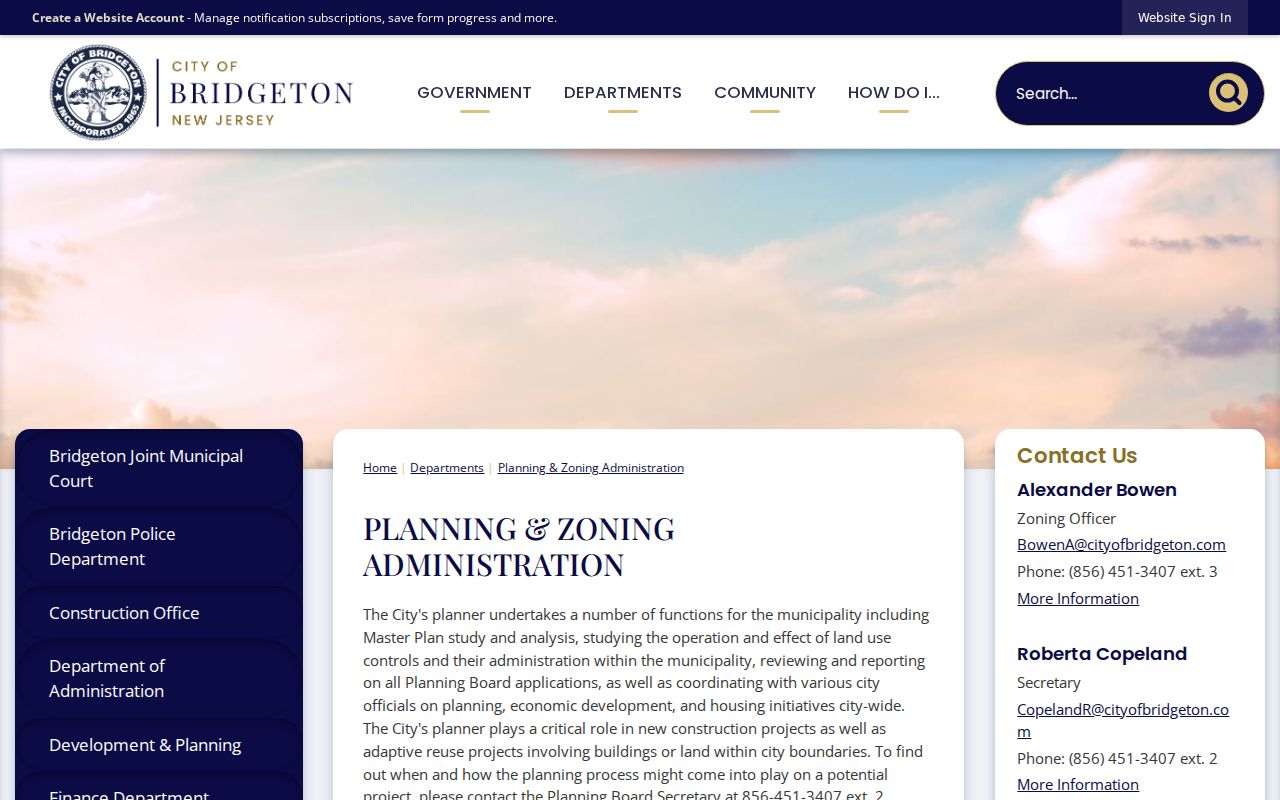
Bridgeton Planning and Zoning material helps explain a Bridgeton parcel’s current land-use setting, while a Bridgeton permit or code record requires the custodian’s separate access decision.
Bridgeton’s Municipal Clerk handles Bridgeton city OPRA requests, while the county has its own OPRA process for county-held records. A focused request identifies the specific address, block/lot, record type, and date range, and asks to inspect before seeking copies. OPRA is a request law for existing records, not a way to compel a custodian to make a new neighbor list. Restricted details can be withheld.
Mapping Bridgeton Neighbors by Parcel
The strongest block workflow is address to anchor parcel to adjacent parcels to assessor and deed verification. It keeps each step attached to an official identifier and avoids converting an address clue into a statement about a person. An adjacent parcel owner may use another mailing address, and an owner’s name may be redacted on the hosted state map. The city assessor, not the map alone, supplies the official assessment context.
| Check | What to Preserve |
|---|---|
| Anchor map result | Address format, municipality, block, lot, PIN, and parcel placement |
| Adjacent parcel | Its block/lot and relationship on the map, without calling it a household |
| Assessor record | Owner role, mailing address, situs, assessment context, and any redaction |
| Deed index | Grantor, grantee, instrument date, book/page or file number, and legal description |
If an address is near a boundary, the map layers can show why a familiar postal city does not settle municipal jurisdiction. The Planning/Zoning office at 50 E Broad Street, city assessor at 181 E Commerce Street, and County Clerk at 60 W Broad Street have distinct roles. Keep their record types separate rather than treating them as one city file.
Bridgeton Neighbors Voter District Limits
New Jersey voter data can connect a registered voter to a district under statutory conditions, but it is not a casual public block roster. The person-oriented state registration tool requires careful exact spelling, with hyphen, space, former-name, city, and county checks. Its live form returned 403 during the research pass, so required fields and button labels remain a documented gap. A match should be treated as a status clue and checked against the date and address context already collected.
N.J.S.A. 19:31-18.1 permits an election-district list request subject to its conditions and a $0.25-per-copy-of-each-election-district-list charge. The full voter-file request form and current delivery format for Cumberland were not located. The Cumberland County Board of Elections is the appropriate contact for the permitted list fields and current procedure. Protected addresses, complete birth-date detail, phone, personal email, driver-license and Social Security information are withheld, and ballot choices are not public.
Note: A district field can place an address in election geography, but it does not identify everyone present on a parcel or prove an address is current.
Bridgeton Neighbors Historic and Business Context
Historical city directories are the dated address layer for a block. The State Library catalog identifies Bridgeton-specific runs for 1921-22, selected Polk volumes from 1924 through 1930, and selected later volumes from 1964 through 1986. Search the street section if available, then check the alphabetic section and preserve the printed year, spelling, occupation or business context, and address. A directory entry belongs to that edition’s date and should not be converted into a modern neighbor conclusion.
For public commercial context, the Chamber is the verified route. Its directory has 201 reported results, a search box, a ZIP dropdown, 50 results per page, and fields for member business name, address, phone, and category. It is a business-member directory, not a private residential membership list.
The Bridgeton Chamber page points to the official public business-directory route.
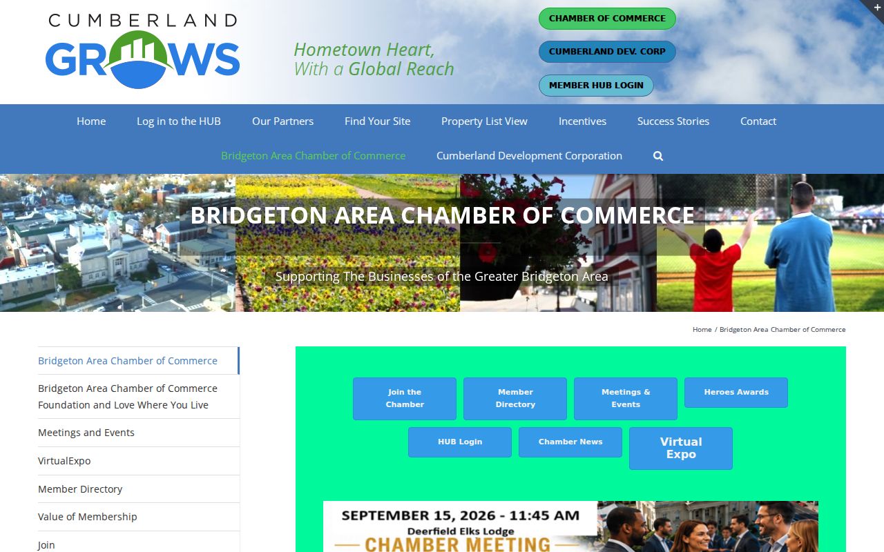
A public storefront listing can help distinguish a commercial address from a nearby parcel, then it should be cross-checked with New Jersey Treasury filings.
| Source category | Useful block fact | Limit |
|---|---|---|
| Official parcel, assessor, deed, and permit records | Source-specific parcel, ownership-role, legal-description, or address activity | Each custodian controls its coverage, redactions, and record meaning |
| Commercial neighbor-lookup category | A possible lead that requires an original-source check | Results can be stale, merged across people, incomplete, or detached from context |
| Official Chamber directory | Public member business name, contact address, category, and ZIP filter | Business listings only, with no claim about a private roster or nearby households |
No official Bridgeton neighborhood-association index with names and membership-directory status was located. City planning, historic-district, Main Street, congregational, and preservation contacts may publish events or organization information, but private membership rosters should not be requested or reproduced without permission.
Bridgeton Neighbors Historic District Numbers
Bridgeton’s historic district provides useful block context without identifying residents. The district contains approximately 2,200 residential, commercial, industrial, and ecclesiastic structures. Inventory work began in 1979, the State Register listing is dated February 22, 1982, and the National Register listing is dated October 29, 1982. A historic street can therefore contain a mixture of old uses and later parcel changes, even when the modern map shows a simple row of lots.
The October 1923 Sanborn set has 33 sheets and can help identify a building’s footprint or use in a particular year. It does not supply a people list. Pair that map context with a dated city directory, deed, or permit record, and preserve the date of every source. The historic district is a place-based context, not a membership roster.
Bridgeton Neighbors Privacy Limits
Some block information remains private or restricted. Utility and delivery-customer information, motor-vehicle address information, protected ACP and Daniel’s Law addresses, sealed court material, and restricted vital records are not substitutes for a parcel search. A person can also be present at an address without appearing as an owner, voter, or named party in a public record. Missing data should stay missing until the proper custodian confirms a lawful route.
Lawful use. Use Bridgeton neighbors records for personal, civic, historical, safety, or property context. Do not use map or record details to monitor, follow, threaten, stalk, or harass anyone.
The New Jersey Address Confidentiality Program supplies a substitute address to eligible people who meet its threat and relocation criteria. Daniel’s Law protects covered officials and immediate household members through redaction. For an ordinary record error, cite the source and ask the city assessor, County Clerk, court, election office, or other original custodian for its correction procedure. Do not publish a protected address or combine isolated public details to create unwanted contact.