
Finding a Bridgeton Street Address
A careful Bridgeton street-by-street search begins with the physical situs of the Bridgeton parcel, not with an assumed occupant. The state parcel viewer and Bridgeton assessor give the stable property clues: municipality, block, lot, PIN, parcel location, and the tax-record context. The owner shown in a Bridgeton tax record may receive mail somewhere else. The next records answer different questions: deed instruments establish recorded ownership, voter records can confirm a particular person’s registration status, and historical directories can place a household at an address in a particular year. None is a complete modern household roll.
- Enter the address in New Jersey Property Explorer. If a match is unclear, select Cumberland County and Bridgeton City, then note the block, lot, PIN, and displayed parcel.
- Ask the Bridgeton Tax Assessor to confirm the property record card and preserve the physical situs separately from the owner mailing address.
- Use the Bridgeton parcel location and legal description to locate the acquisition deed in the County Clerk’s land-record systems. Record the grantor, grantee, date, and book/page or file reference.
- For a named Bridgeton person, use the New Jersey registration check only as a person-level confirmation. It is not a public street roster and protected fields stay withheld.
- For an older address, check the street section of a Bridgeton directory and then its alphabetic section. Match the year before drawing any household conclusion.
Note: Save each source beside its date, because an address, a deed, and a directory entry can describe different moments in Bridgeton history.
Bridgeton Street Directory Parcel Fields
New Jersey Property Explorer is the first map layer for a Bridgeton street directory search. It accepts an address and can narrow the map by county, municipality, block, and lot. The hosted data is a locator, not a legal survey. It also may redact owner information under Daniel’s Law, so a missing name is not a reason to infer that the parcel has no owner. Use the displayed identifiers to request the property card or find the recorded instrument.
| Explorer field | How it helps a Bridgeton address search |
|---|---|
| Address | Finds a Bridgeton street location when the address is known. |
| County and municipality | Set these to Cumberland and Bridgeton City when a common street name returns a broad map view. |
| Block and lot | Provide the Bridgeton parcel locator when street numbering or spelling is uncertain. |
| Map layers | Show parcel and statewide layers, including Bridgeton roads, zoning, waterways, boundaries, and land-use themes. |
| Search, zoom, and identify | Support browsing and selecting a Bridgeton mapped parcel; exact control labels can vary with the ArcGIS view. |
The property viewer aligns Bridgeton parcel work with MOD-IV/PAMS identifiers, but county polygons need not edge-match and are not boundaries for a survey. A Bridgeton by-address search should therefore treat a PIN as a bridge from map to tax record and deed, not as a replacement for the Clerk’s recorded legal description.
Bridgeton Street Situs and Mailing Clues
The Bridgeton Tax Assessor maintains the assessment setting and tax-record context for Bridgeton parcels. The public Bridgeton city page does not provide a separate owner-name search form, so a Bridgeton address search should lead to the office record card rather than promise a local web lookup. A card can support an owner name, property location, mailing address, assessment, classification, exemptions, and physical characteristics, although the precise local card fields should be confirmed with the assessor.
The key distinction is simple. The situs address is the physical Bridgeton parcel location used by Bridgeton maps, permits, zoning, and emergency addressing. The owner mailing address is where a tax bill or official notice goes. It may be outside Bridgeton. Keeping these in separate columns makes a Bridgeton by-address search much more reliable and avoids calling an ownership contact a current resident.
The assessor source shows the Bridgeton municipal record route used for property assessment and tax maps.
The assessor image is a reminder that the Bridgeton local office, rather than a name-search interface, is the source for confirming a Bridgeton property card.
Browse Bridgeton Streets in GIS
Cumberland County GIS supplies the regional Bridgeton map and data-request route. Search the Bridgeton anchor address in the state parcel map, zoom to the selected parcel, then pan along the road and identify contiguous polygons. This confirmed click-and-browse method helps read frontage, block/lot labels, road centerlines, zoning, boundaries, wetlands, soils, waterways, preserved land, and land use without claiming an unverified radius tool.
Bridgeton GIS is strongest for geography. It can show how parcels line up on a Bridgeton street or where a Bridgeton road meets a municipal boundary. It does not establish who occupies a building, and the mapped outline is not a legal survey. When a Bridgeton parcel needs legal confirmation, carry the block/lot or PIN to the assessor card and County Clerk deed index.
The county GIS gateway identifies the free parcel and thematic-data route for Bridgeton street work.
The GIS source supports a Bridgeton parcel-by-parcel street view while leaving ownership and household questions to their proper record custodians.
Bridgeton Address Records by Street
Several Bridgeton records can be keyed to an address, yet their evidence is not interchangeable. The Bridgeton property layer locates a parcel and provides tax context. The Bridgeton deed layer traces recorded interests. Bridgeton permit and code material can connect work or inspections to a project address. Voter information has statutory limits, and a historical directory is a dated snapshot. The table keeps a Bridgeton address search tied to the right custodian and the right limit.
| Address record | Local keeper | What it can establish | Access route |
|---|---|---|---|
| Property Explorer and GIS | NJGIN and Cumberland GIS | Bridgeton address, parcel geometry, block/lot/PIN, and map context | Free public map; owner redactions and survey limits apply |
| Property record card | Bridgeton Tax Assessor | Owner and assessment context, mailing clue, and situs | Assessor page or counter; no separate local public search form found |
| Deed and recorded instrument index | Cumberland County Clerk | Bridgeton grantor, grantee, date, legal description, and recording reference | County Fusion, ImageSync, or Record Vault by era |
| Construction or code material | Bridgeton Construction Office or custodian | Bridgeton project address, block/lot, permit, inspection, and dated work record | Counter or OPRA request; no live public result search located |
| Historic directory | State Library, library routes, and CCHS | Dated address, name, occupation or business clues as printed | Catalog, library, or historical-research route |
| Voter registration record | State and county elections offices | Limited registration confirmation for a named person | State check or law-governed record request; protected fields excluded |
For Bridgeton city permits, the official construction-inspection form uses project address, block/lot, permit number, owner contact, date, subcode, and inspection type. Bridgeton has not published a permit-result screen. A specific request to the Bridgeton city custodian is the documented fallback for permit applications, results, certificates, or code material.
Read Bridgeton Deeds Along a Street
The County Clerk’s land records turn a Bridgeton street search into a title trail. Search the current owner of the Bridgeton parcel as a grantee to find the purchase deed. Copy the seller, buyer, recording date, instrument number or book/page, and legal description. Then search the seller as a grantee in the prior period. A seller may be an estate, trustee, corporation, or several family members, so role and spelling matter. Block/lot and legal description often survive a changed street number better than a name alone.
County Fusion is the named modern path for 1987 to the present. ImageSync covers the 1960 to 1987 segment. For earlier Bridgeton instruments, use the County Clerk’s Record Vault at 60 W Broad Street or the State Archives deed-index route. The Clerk says electronic records are free to access; certified copies and mail requests follow separate policies.
The County Fusion landing page is the research source for the newer Cumberland land-record path.
The deed-index source belongs in a street directory workflow after the parcel identifiers are known, because a recorded title trail is more precise than a street name alone.
Bridgeton Street Records by Era
The Cumberland land-record split is a useful numerical clue for any older Bridgeton street directory search. The Record Vault describes county land records since 1748. The County Clerk FAQ for Bridgeton places the online digitized floor at 1960. Within that online era, County Fusion is the portal named for 1987 forward and ImageSync is the historical viewer for 1960 through 1987. Those are different coverage labels, not conflicting promises.
ImageSync is the official historical viewer for the 1960 to 1987 portion of the trail.
The ImageSync image marks the handoff point between newer online land records and the older Record Vault route.
Before visiting the County Clerk Record Vault, call 856-453-4860 with the street’s block/lot and likely grantor or grantee spellings. Ask whether the needed index is self-service, on microfilm, or staff-assisted. A mail copy request needs book, page, or file information; archive research is a separate paid service and should not be treated as the same request.
Bridgeton Street Names and Planning Maps
Street labels can break an otherwise sound address search. Official accounts use Bridge-towne, Bridgeton, and Cohansey Bridge in the locality’s history, and they disagree on the date the Bridgeton name became standard. Preserve those variants in an archive search instead of deciding that one is wrong. The city’s 2025 ordinance list also identifies Pine/N Pine as James D Edwards Sr Way and Bank Street/extension as Jack Surrency Way. Check the adopted ordinance before treating either current label as an old-directory label.
Bridgeton Planning and Zoning Administration provides current map and application context. It can help distinguish present zoning or jurisdiction from historic address usage, while deeds and directories remain the bridge back in time. No official E911 readdressing project or complete street-renumbering grid was confirmed, so a legal description and block/lot are the dependable cross-era keys.
The planning and zoning source provides the city route for current map interpretation.
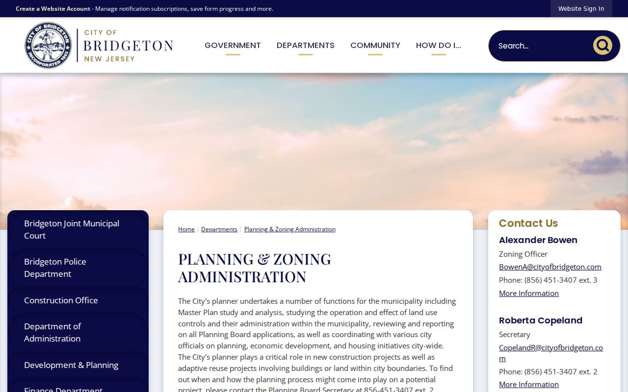
The planning source adds current street and zoning context without turning a modern map into proof of an older address label.
Bridgeton Street Directory History
A historical criss-cross directory is the address-first companion to the deed chain. Bridgeton-specific runs begin with the 1921 to 1922 Directory of Bridgeton and selected Polk volumes from 1924 through 1930, with selected later volumes from 1964 through 1986. Cumberland-wide directories offer earlier context from 1881 to 1910. The State Library catalog is the strongest verified source, while the Cumberland County Historical Society gives a local research example using 1921 through 1953 volumes.
Look first for a street or address section, then search the alphabetic section for the same spelling. Keep initials, spouse or widow notation, occupation, business address, and any publisher notation exactly as printed. A missing entry can mean the collection lacks a volume for that year. The fuller collection history belongs on the Bridgeton city directory page, leaving the present use here focused on one address.
- Parcel
- A defined piece of real property, usually identified by block, lot, PIN, or a legal description.
- Situs address
- The physical location of a parcel. It is distinct from an owner’s mailing address for tax notices.
- Plat
- A recorded map that depicts lots, streets, or other land divisions. Use the Clerk’s record for the controlling instrument.
- Criss-cross directory
- An address-oriented directory section that can connect a dated street number to the name printed by the publisher.
Bridgeton Street Voter Limits
New Jersey’s registration check is person-oriented. It can help confirm a named Bridgeton person’s status when the county spelling is tested carefully, including hyphens, spaces, middle initials, or a marriage-name change. The research pass received a 403 response from the live form, so exact live labels and requirements should not be asserted. A Bridgeton registration check should never turn into a claim that every person at an address is visible or registered.
Under N.J.S.A. 19:31-18 and 19:31-18.1, Bridgeton voter information has limits. Full dates of birth, phone numbers, personal email, driver-license and Social Security data, and protected information are withheld. A legally obtained district list has use restrictions, including a commercial or charitable solicitation restriction and a stated election-district copy charge. The public search is a narrow verification route, not an address-by-address population list.
Note: An address absent from a voter result does not establish that a Bridgeton parcel is vacant or that no household member lives there.
Bridgeton Street Directory Privacy Boundaries
A street directory can document parcels, recorded instruments, and dated directory entries. It cannot lawfully fill every gap. Utility and delivery-customer data are not public address tools. DMV information is restricted by the Driver’s Privacy Protection Act. New Jersey’s Address Confidentiality Program protects eligible people through a substitute address, and Daniel’s Law can require redaction of covered people’s home-address information. A redacted parcel map may still show the parcel, while leaving a protected name absent.
Lawful use. Bridgeton address records are for lawful personal, civic, family-history, property, or safety research. New Jersey law does not permit using public records to stalk, harass, threaten, or expose a protected address.
For a record not available online, use the custodian that holds it. The county OPRA route accepts specific written requests through mail, delivery, fax, or NextRequest. For city permit material, use the Bridgeton OPRA request form with the project address and block/lot. A request should name the record and timeframe rather than ask for a general search of people on a street.